NASA image using data provided courtesy of the University of Maryland’s Global Land Cover Facility (2000)
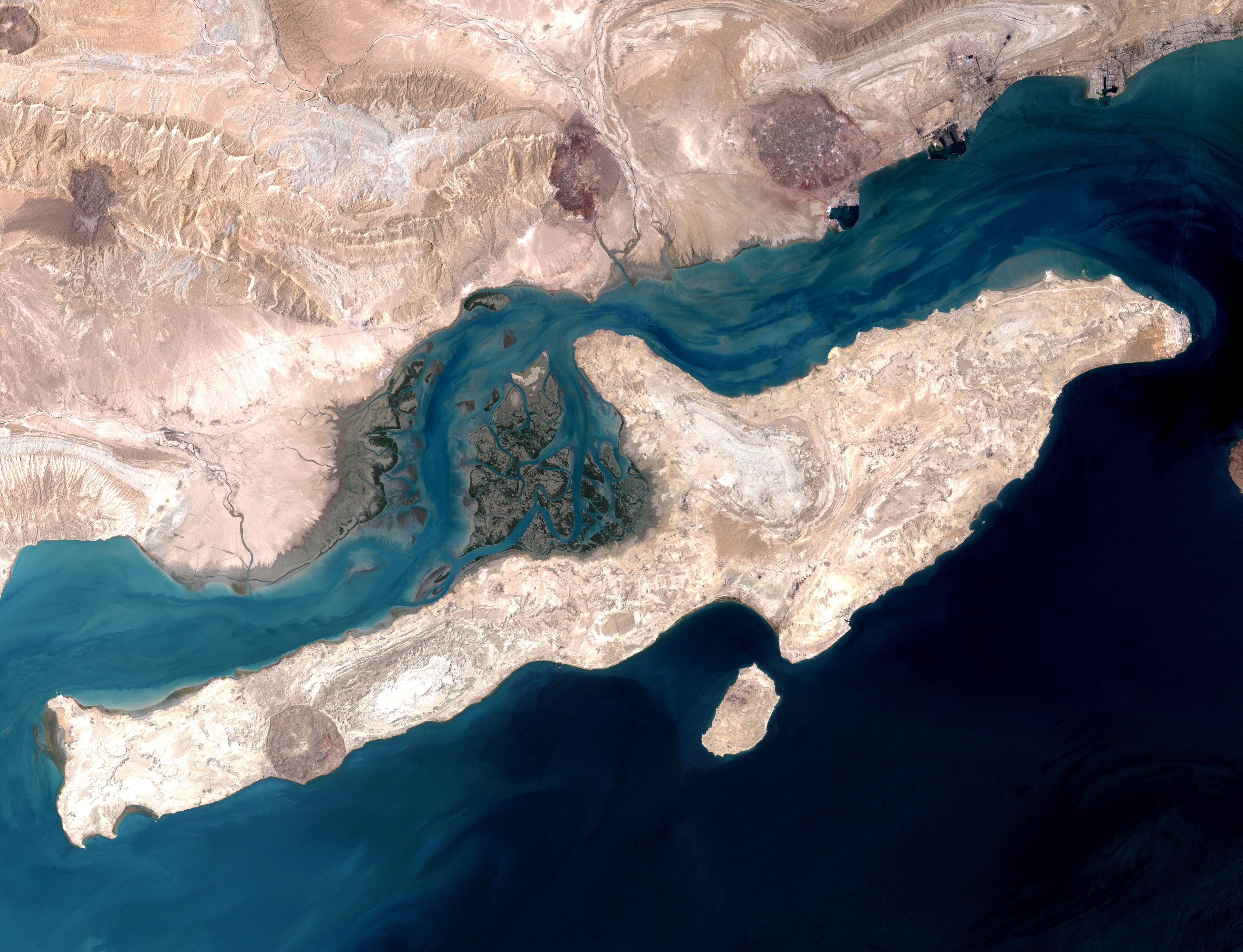
The thermal image of the Qeshm Island.
Keywords: NASA landsat Thermal mapper, Qeshm land Iran
The thermal image of the Qeshm Island.
Keywords: NASA landsat Thermal mapper, Qeshm land Iran